Follow the shoreline. Find your own little piece of paradise.
Beaches01 / 08
Francis Bay
St. John
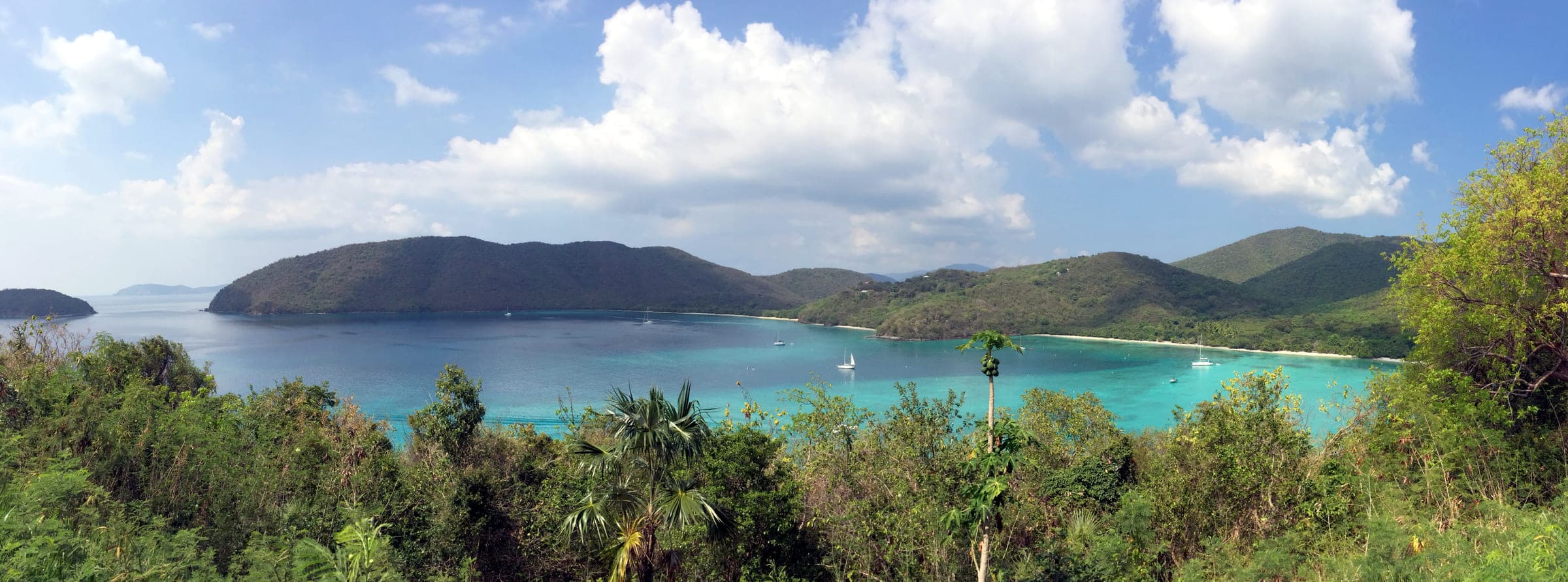
Turtles, long swims and snorkeling along the rock shoreline at the north end, inside Virgin Islands National Park on St. John. A boardwalk follows the salt pond behind the beach for birding, and a trail climbs to the remains of a Great House and the Francis Sugar Factory.
Check access, operating details and source dates on the profile before setting out. Place source ↗
Turtles, long swims and snorkeling along the rock shoreline at the north end, inside Virgin Islands National Park on St. John. A boardwalk follows the salt pond behind the beach for birding, and a trail climbs to the remains of a Great House and the Francis Sugar Factory.
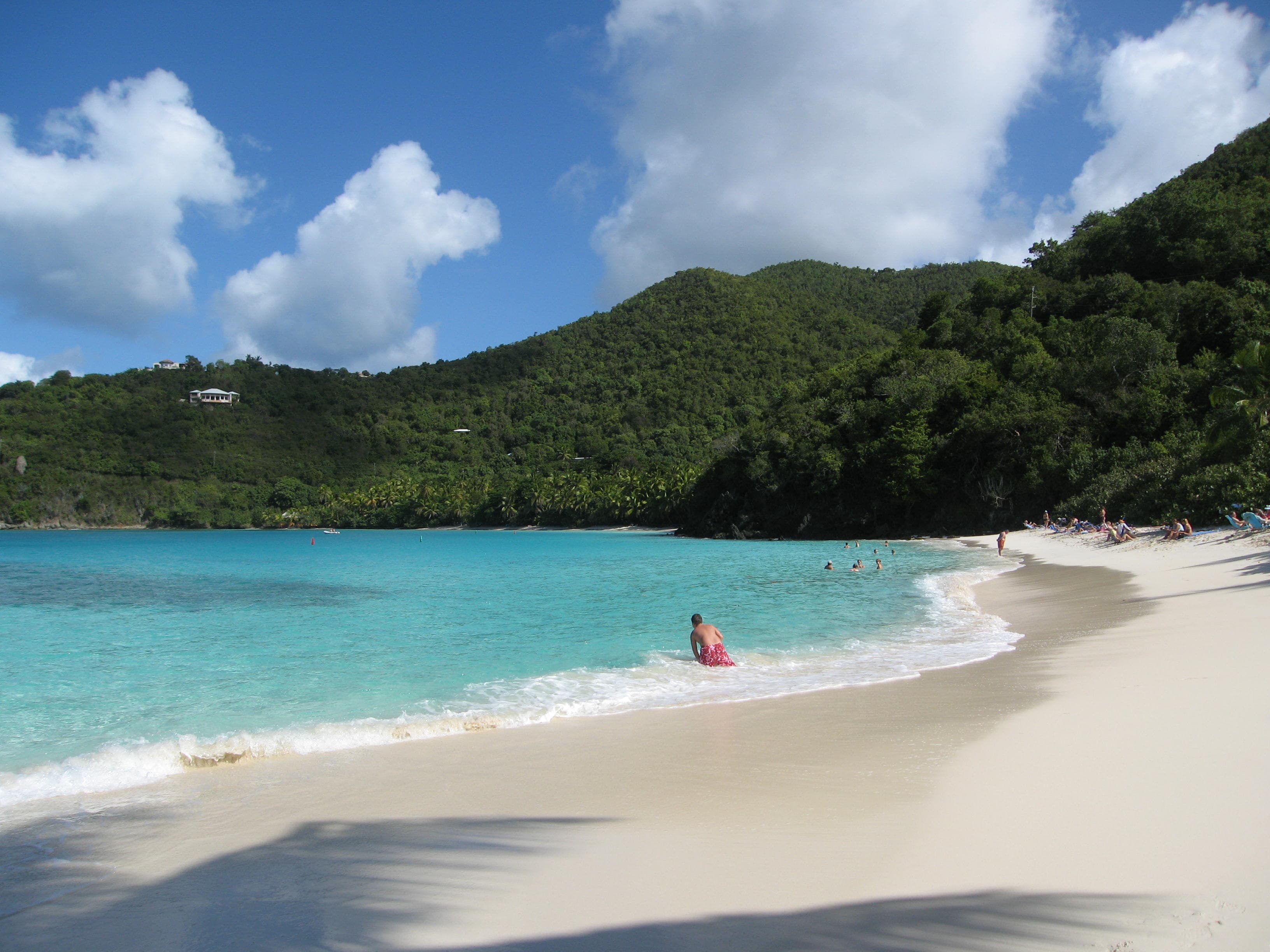
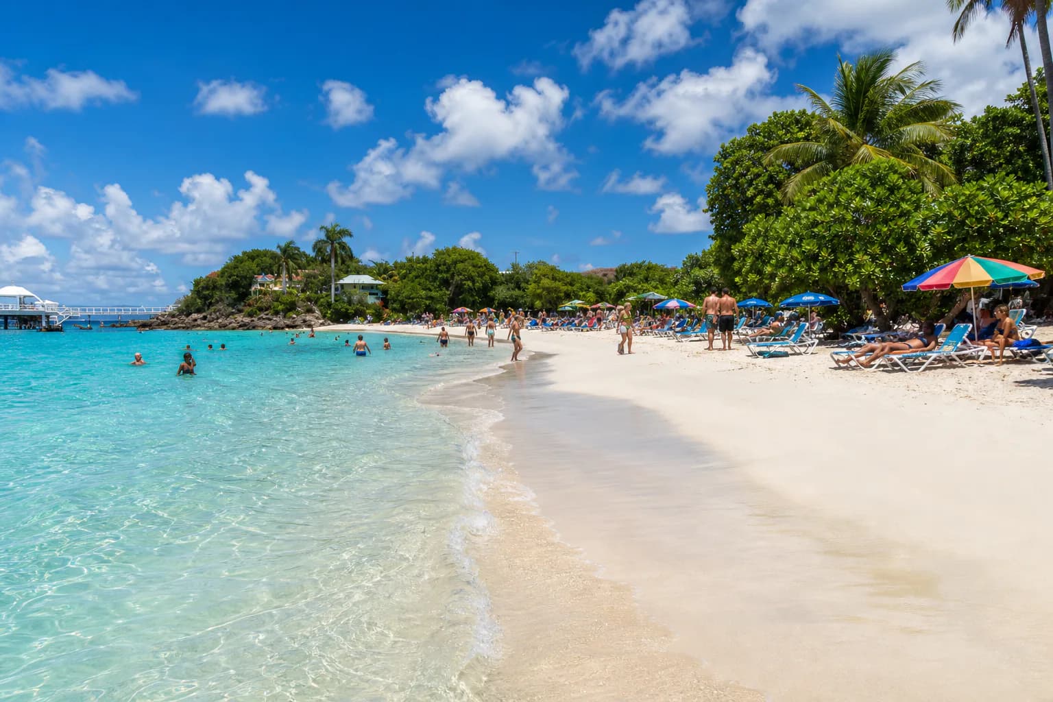
A white sand beach inside Virgin Islands National Park on St. John, lined with tall trees. Three small elkhorn coral reefs lie offshore for snorkeling, and there are changing rooms, restrooms, picnic tables and grills.
White sand under palm and seagrape trees inside Virgin Islands National Park on St. John. A reef runs east toward Caneel Bay, with elkhorn and pillar coral off the rocky point. The trail in starts at the park sign off North Shore Road, and there is a kayak launch, picnic tables and parking.
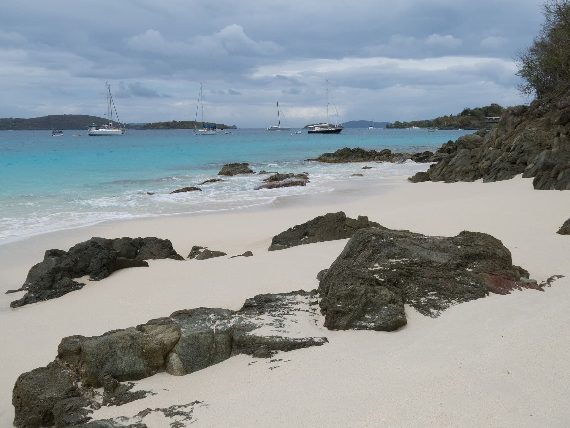
Jumbie Bay is a small North Shore cove in Virgin Islands National Park, between Hawksnest and Trunk Bay. A short path from a limited roadside lot leads to a compact sandy shoreline with beach rock at center and no facilities beyond park trash cans. Trade winds can chop the water; calmer days are better for a quick snorkel around the rocks. Bring everything you need and expect tight parking.
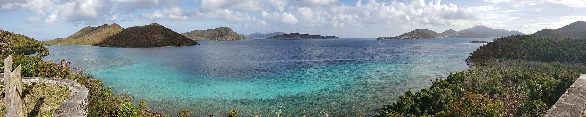
A St. John bay reached along the Leinster Bay Trail from the Annaberg parking lot. Coral heads sit on a sandy bottom in the shallows, and snorkelers swim out to a cay ringed with fish, corals and gorgonians. The waterfront is part of the National Underground Railroad Network to Freedom, used by enslaved people escaping to Tortola.
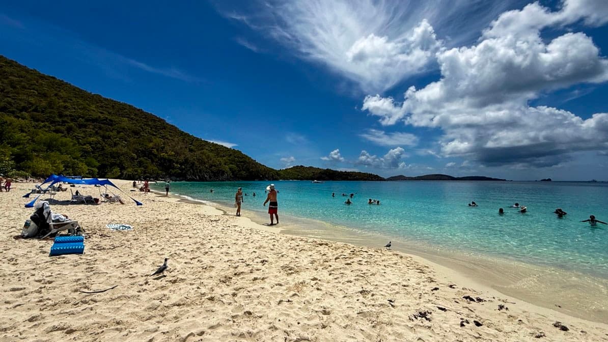
About three tenths of a mile of sand on North Shore Road, roughly five miles east of Cruz Bay. The snorkeling is over large seagrass beds where sea turtles graze. Parking is at the eastern end, restrooms at the western, and food, drink and snorkel, kayak and SUP rentals sit across the road.
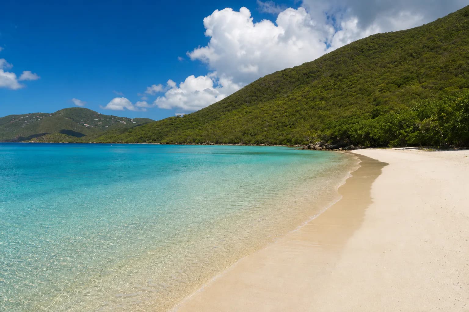
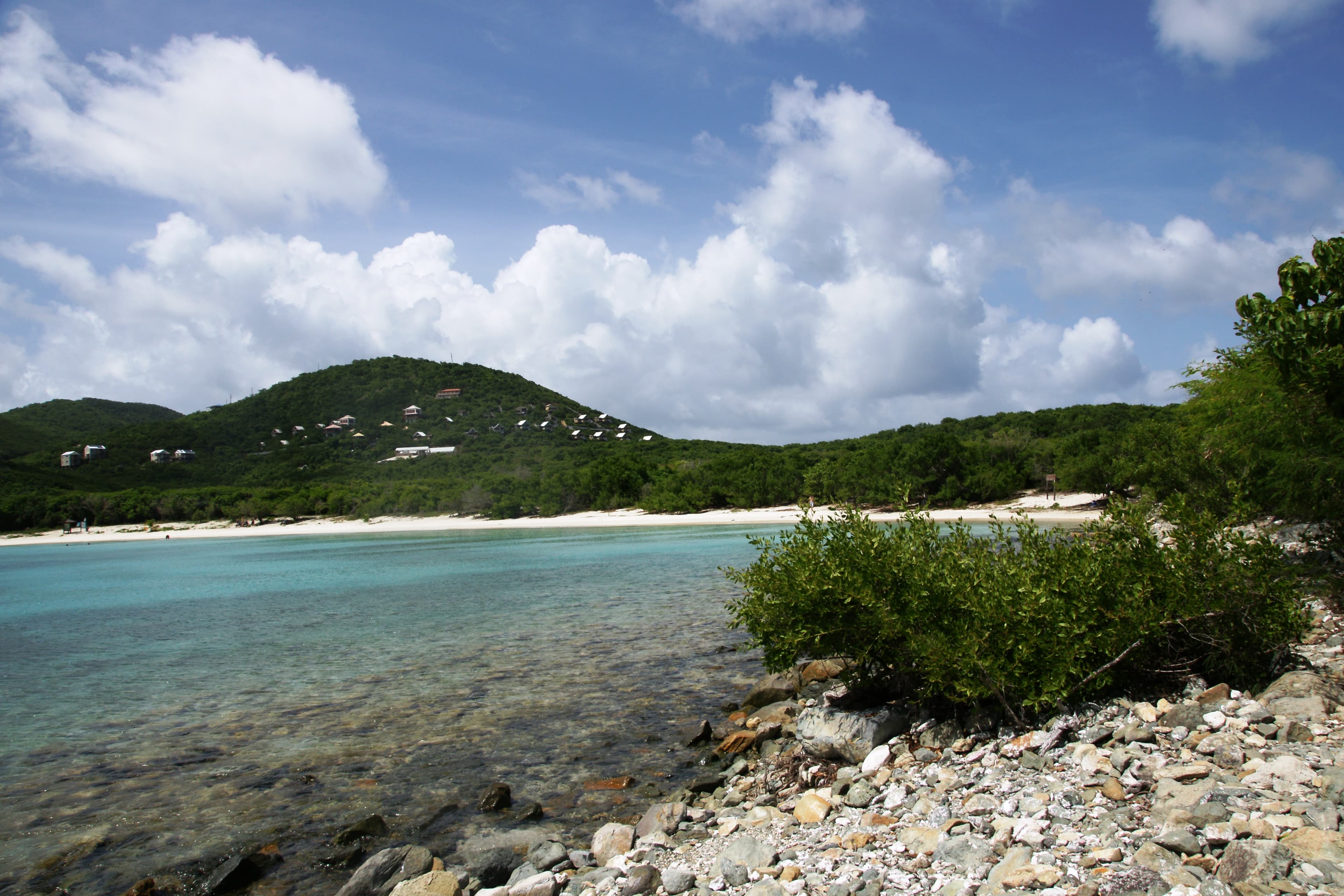
A long curved beach on St. John with a gentle slope into the water, reached by a quarter-mile walk over uneven, rocky ground. Swimming and snorkeling are the water activities, and parking, picnic tables and restrooms are on site. Two trails start from the bay, the steep 0.9-mile Ram Head and the quarter-mile Drunk Bay.
Photographed on location for VibeVI.VibeVI original photography
The place list and profile links stay available throughout the experience. Shoreline combines place photographs and labelled AI illustrations. Viewpoints are separate views rather than a continuous walking tour.