Skip to content
Reef explorerSt. John

Find your
underwater world.

Explore the reef. Find your next place to snorkel.

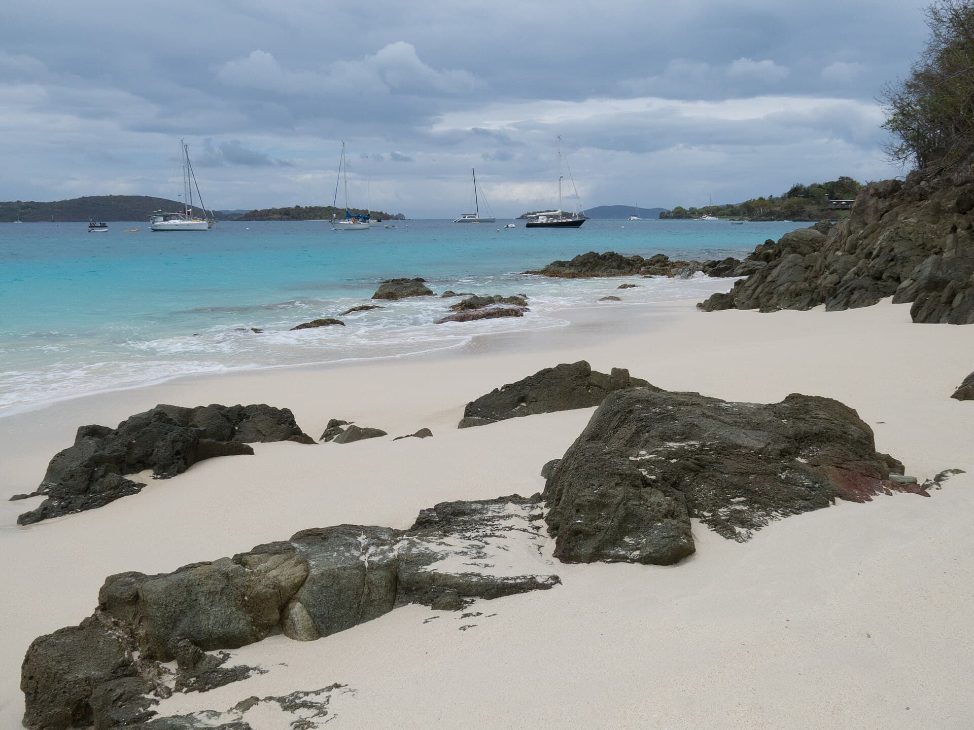
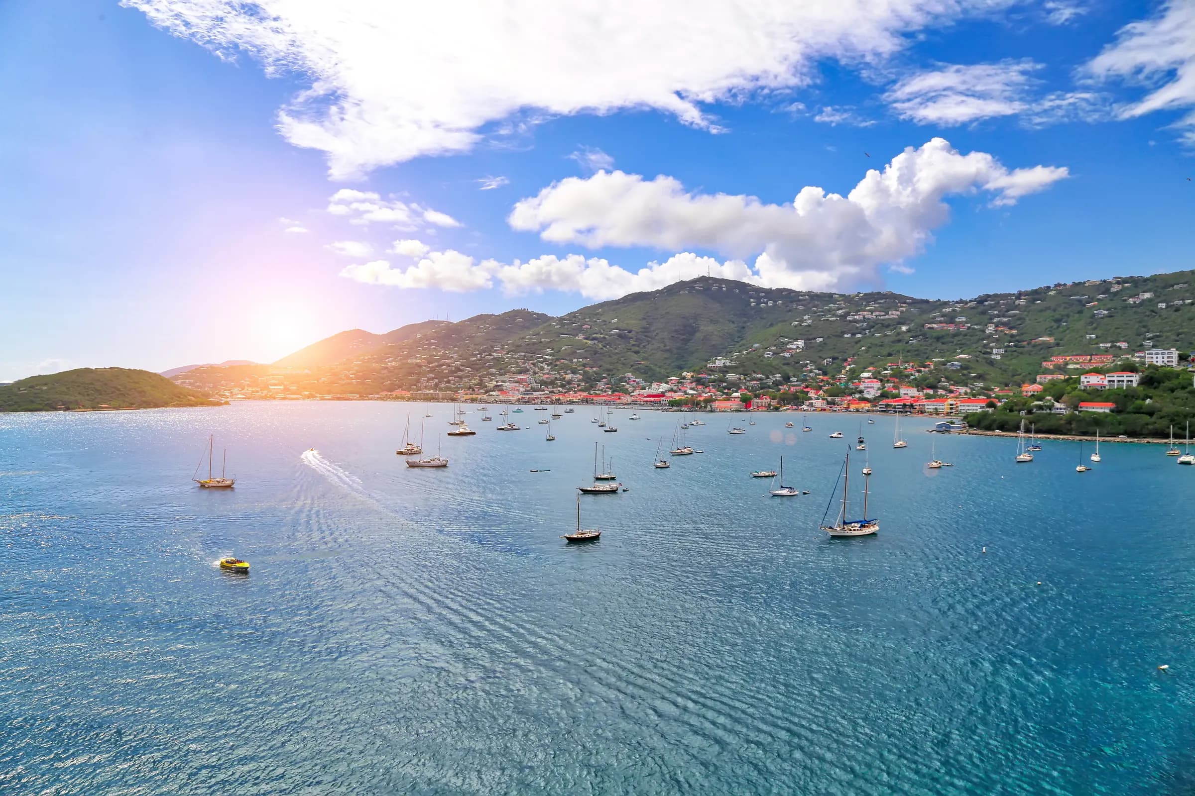
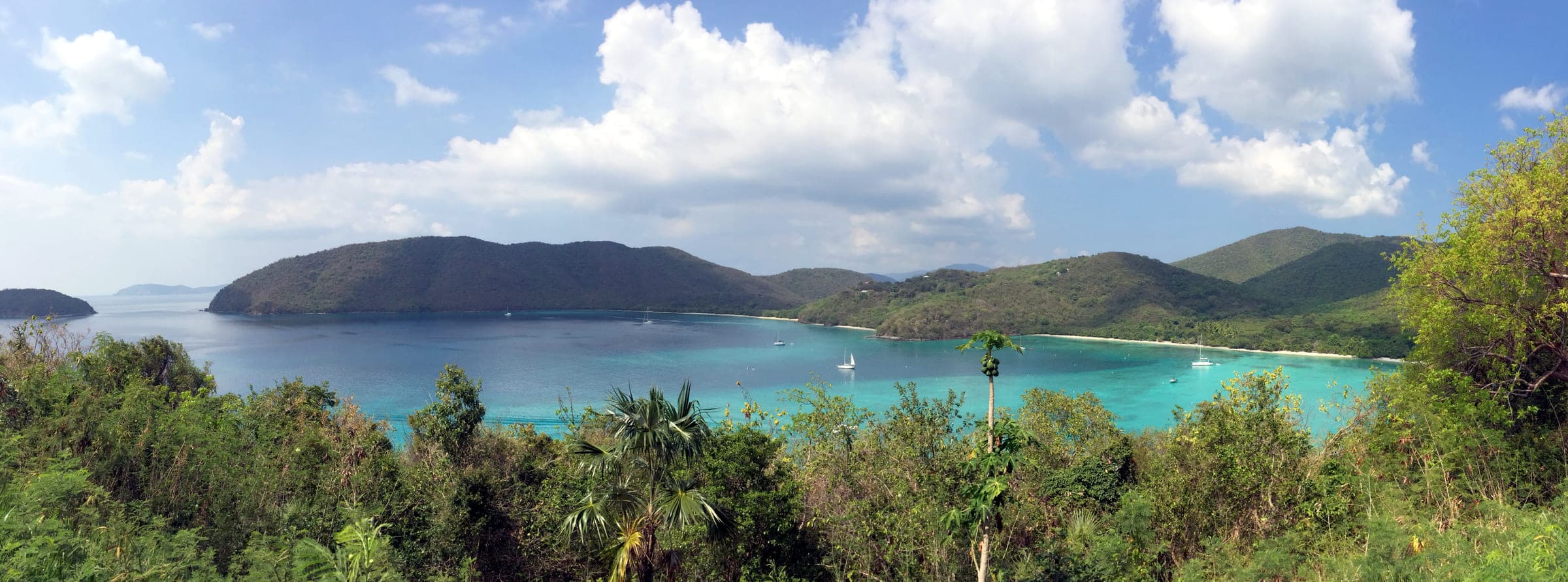
Francis Bay on St. John, its turquoise water and long sand arc framed by green headlands and anchored sailboats, photographed in 2014.
Beaches01 / 15

Francis Bay

St. John

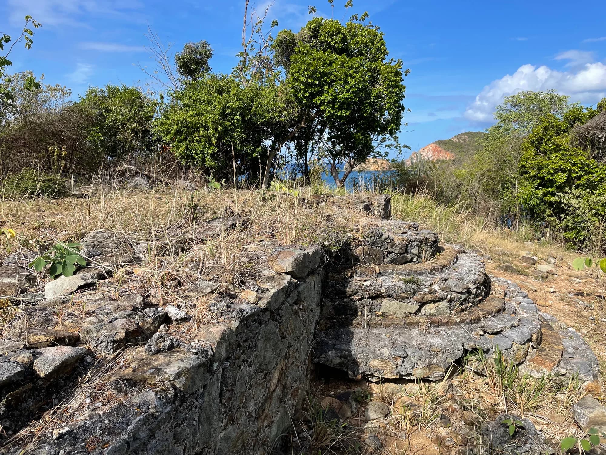
Turtles, long swims and snorkeling along the rock shoreline at the north end, inside Virgin Islands National Park on St. John. A boardwalk follows the salt pond behind the beach for birding, and a trail climbs to the remains of a Great House and the Francis Sugar Factory.

Check access, operating details and source dates on the profile before setting out. Place source ↗

Place photograph from 2014. Photo: St. John USVI — Francis Bay by Jared (jared422_80) / Flickr · CC BY 2.0 (https://creativecommons.org/licenses/by/2.0/) · resized.
Explore this place ↗
Make a day of it with Kai ↗
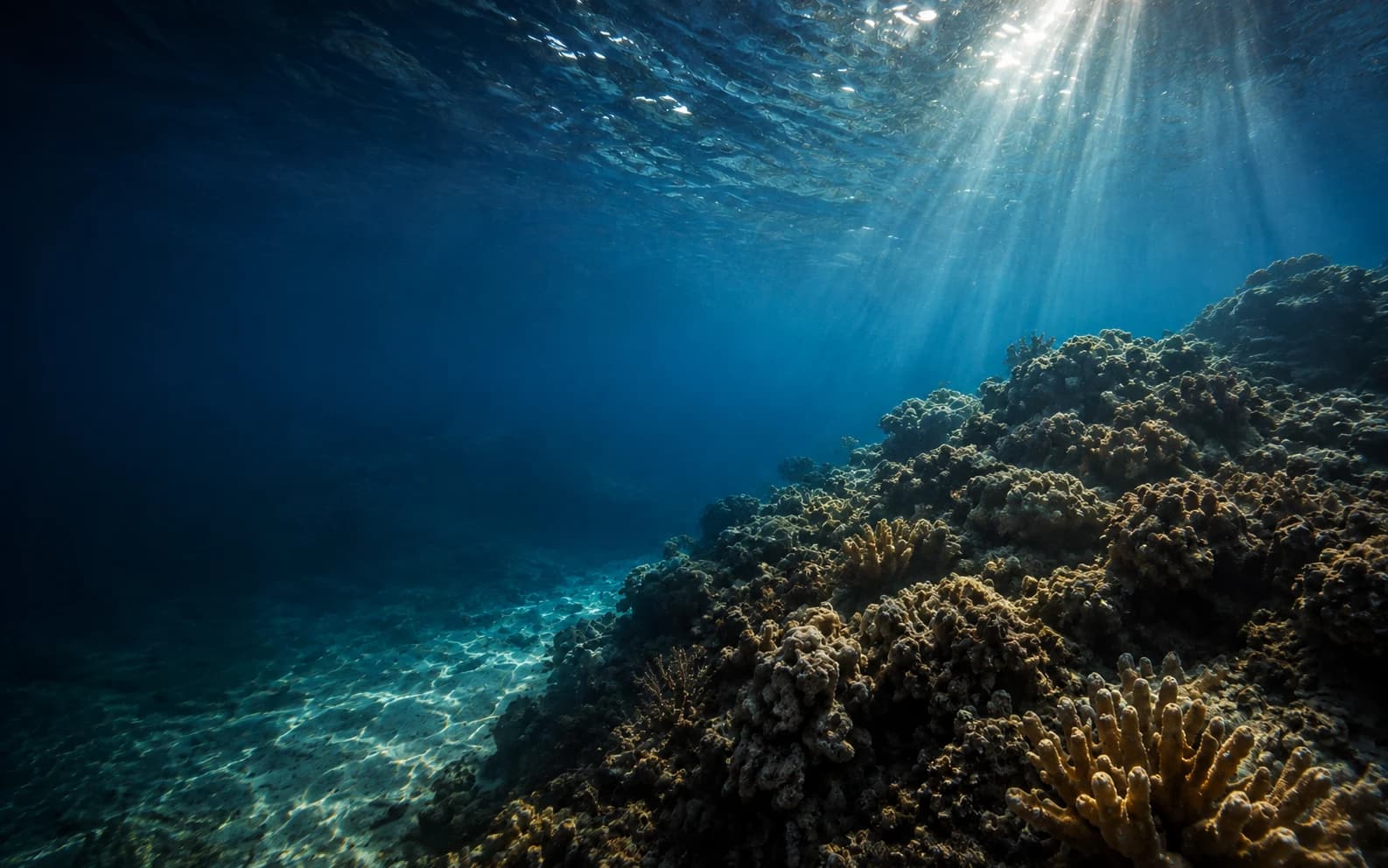
Still reef viewIllustrative CGI reef · not the selected location or a species guide
All 15 places ↓
The places behind the experience

Your next water day.

Open full search ↗

Choose up to three places to compare. Check each profile for access, source details, and what to confirm before you go.

Francis Bay on St. John, its turquoise water and long sand arc framed by green headlands and anchored sailboats, photographed in 2014.
St. John / Beaches

Francis Bay

Turtles, long swims and snorkeling along the rock shoreline at the north end, inside Virgin Islands National Park on St. John. A boardwalk follows the salt pond behind the beach for birding, and a trail climbs to the remains of a Great House and the Francis Sugar Factory.

Place photograph from 2014.St. John USVI — Francis Bay by Jared (jared422_80) / Flickr · CC BY 2.0 (https://creativecommons.org/licenses/by/2.0/) · resized
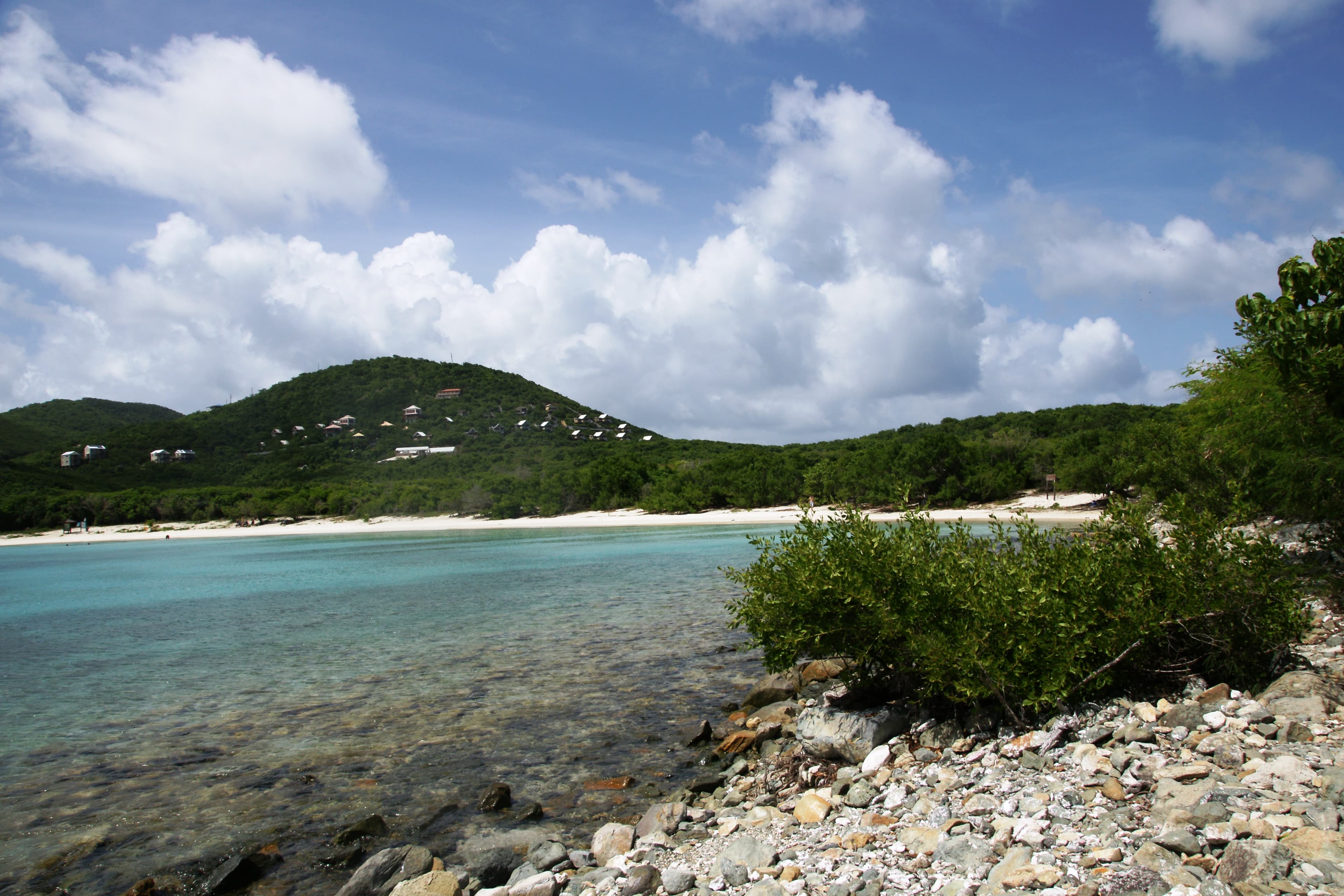
Salt Pond Bay’s sandy shoreline and green hillside seen across the water on St. John in 2011.
St. John / Beaches

Salt Pond Bay

A long curved beach on St. John with a gentle slope into the water, reached by a quarter-mile walk over uneven, rocky ground. Swimming and snorkeling are the water activities, and parking, picnic tables and restrooms are on site. Two trails start from the bay, the steep 0.9-mile Ram Head and the quarter-mile Drunk Bay.

Place photograph from 2011.Blake Carroll / Flickr · CC0 1.0
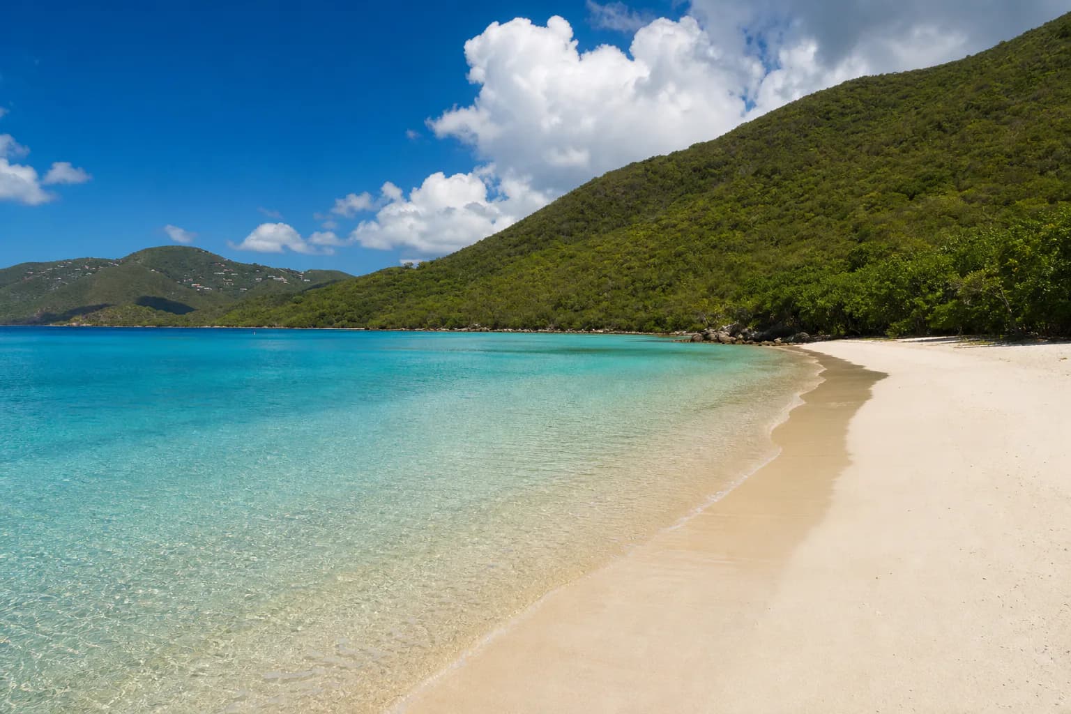
Representative USVI beaches image for Jumbie Beach; not a photograph of this listing and may depict another island.
St. John / Beaches

Jumbie Beach

Jumbie Bay is a small North Shore cove in Virgin Islands National Park, between Hawksnest and Trunk Bay. A short path from a limited roadside lot leads to a compact sandy shoreline with beach rock at center and no facilities beyond park trash cans. Trade winds can chop the water; calmer days are better for a quick snorkel around the rocks. Bring everything you need and expect tight parking.

AI illustration · not this listing; may depict another island.OpenAI-generated representative recreation; not documentary photography
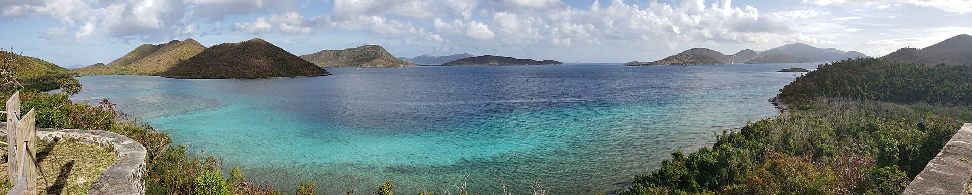
The turquoise shallows of Leinster Bay on St. John's north shore, looking toward the Narrows.
St. John / Beaches

Leinster Bay

A St. John bay reached along the Leinster Bay Trail from the Annaberg parking lot. Coral heads sit on a sandy bottom in the shallows, and snorkelers swim out to a cay ringed with fish, corals and gorgonians. The waterfront is part of the National Underground Railroad Network to Freedom, used by enslaved people escaping to Tortola.

Place photograph · views may be from different dates.Pi3.124, via Wikimedia Commons (CC BY-SA 4.0)
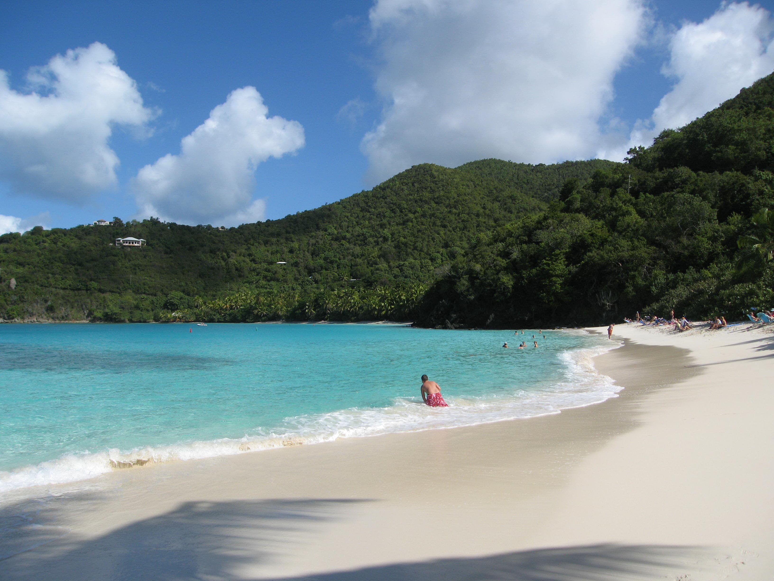
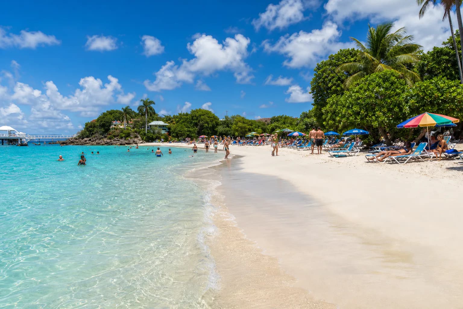
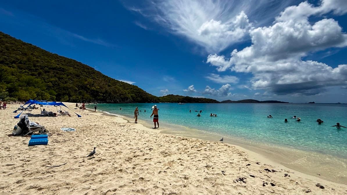
White sand, turquoise water, swimmers, and a cloud-filled sky at Trunk Bay on St. John.
St. John / Beaches

Trunk Bay

Choose a national-park beach with a marked underwater snorkeling trail. Check park conditions and admission before making it your main stop.

Photographed on location for VibeVI.VibeVI original photography
Representative USVI tours activities image for Friends of Virgin Islands National Park; not a photograph of this listing and may depict another island.
St. John / Tours & Activities

Friends of Virgin Islands National Park

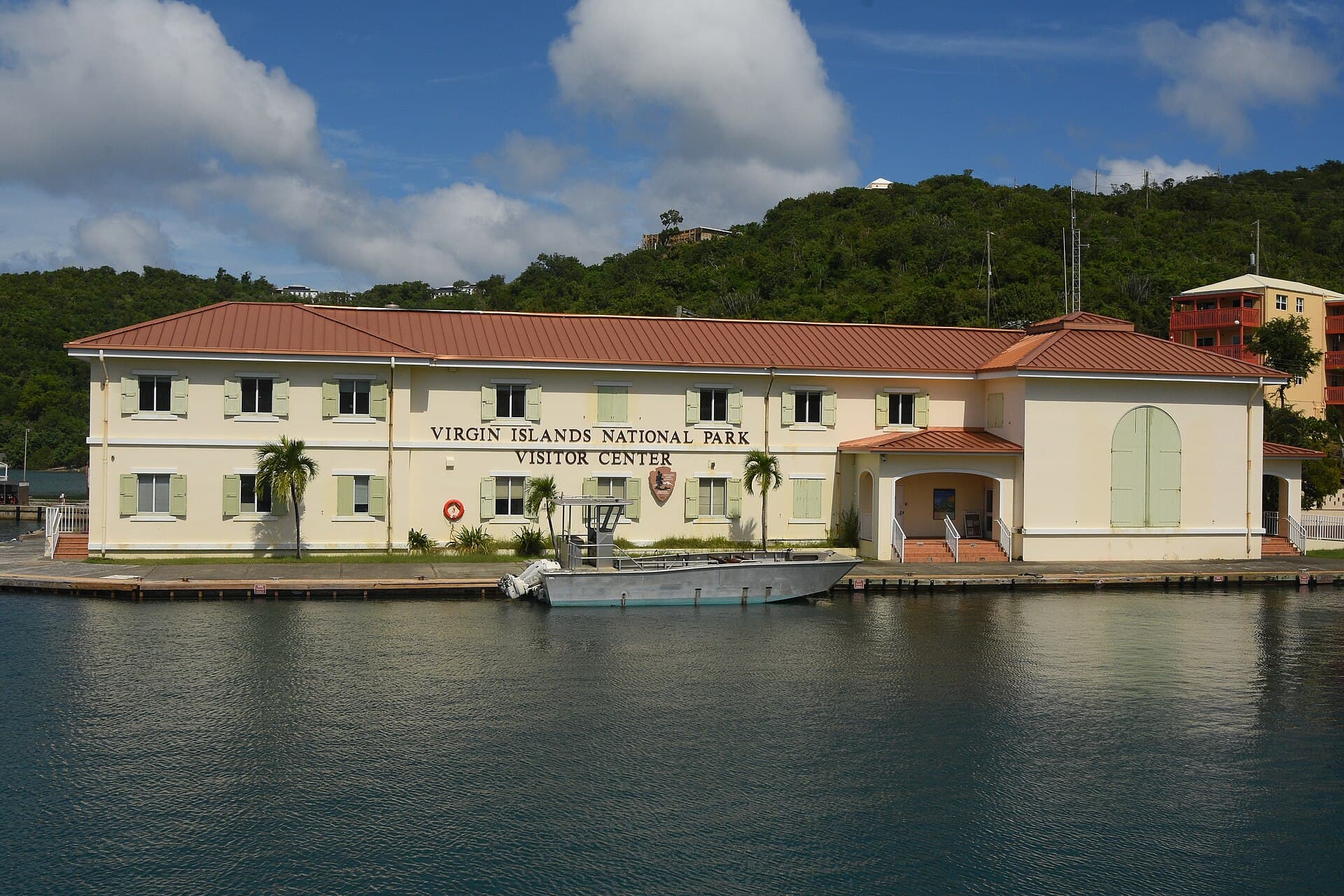
A 501(c)(3) founded in 1988 that partners with Virgin Islands National Park and the Virgin Islands Coral Reef National Monument on St. John to protect their terrestrial and marine resources. The public can join trail work, snorkeling, sea turtle volunteering and the Annaberg Cultural Program, and the group keeps a shop at the park Visitor Center in Cruz Bay.

Representative USVI photograph · not this listing; may depict another island.Eoghanacht / Wikimedia Commons · CC0
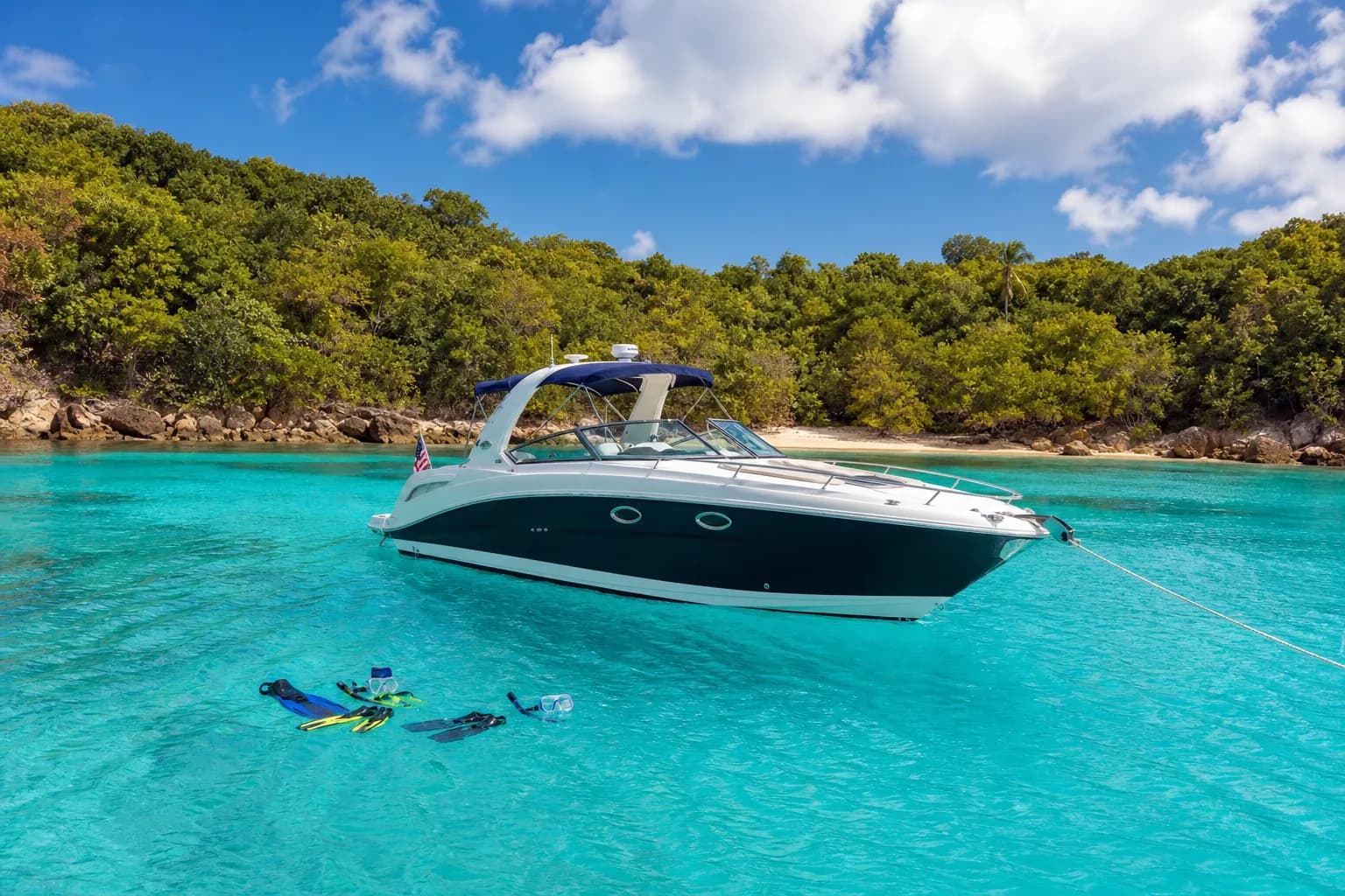
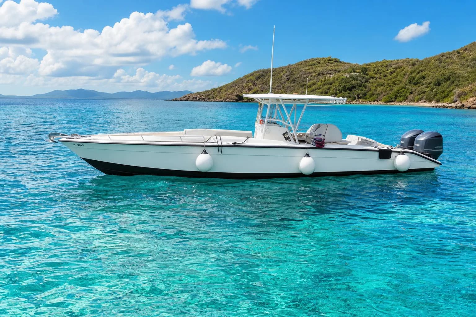
Representative USVI excursions charters image for Low Key Watersports; not a photograph of this listing and may depict another island.
St. John / Boat Charters

Low Key Watersports

A PADI 5 Star Instructor Development Center at 1 Bay Street in Cruz Bay on St. John, running daily boat dives for certified divers, students and first-timers, plus Discover Scuba and Open Water courses, night dives and two-stop snorkeling trips. Gear rental, private charters and powerboat rentals through its sister company Ocean Runner.

Representative USVI photograph · not this listing; may depict another island.Adobe Stock #275577670 (licensed on the site owner's account)
Representative USVI tours activities image for Virgin Islands Ecotours - St. John; not a photograph of this listing and may depict another island.
St. John / Tours & Activities

Virgin Islands Ecotours - St. John

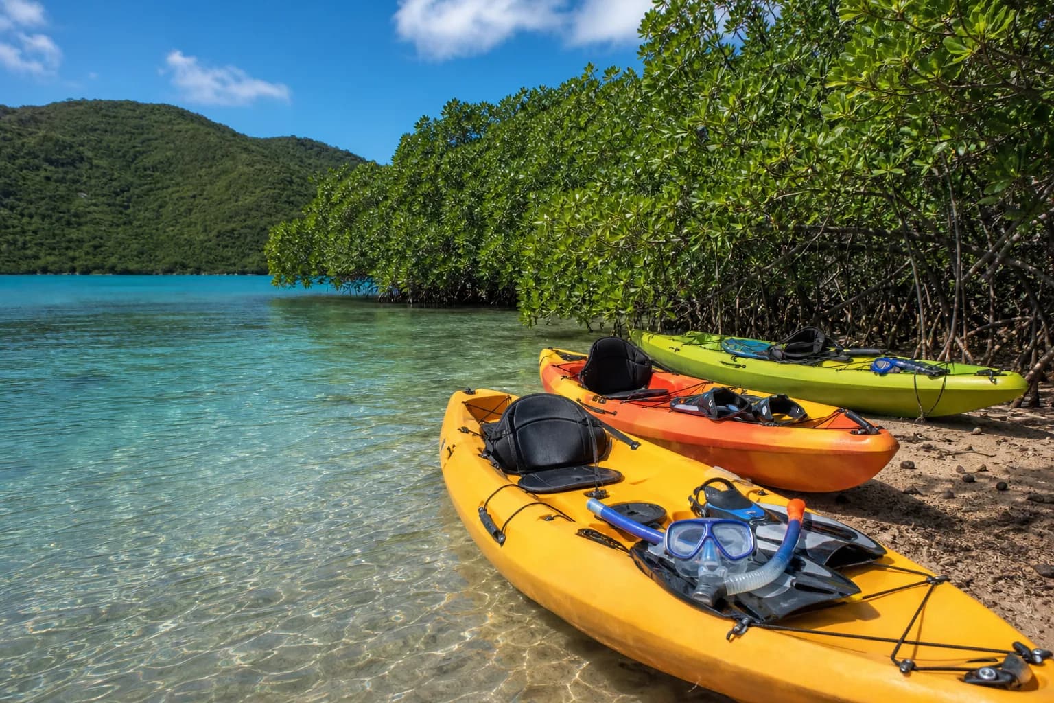
Kayak, snorkel, hike and combination tours inside Virgin Islands National Park, leaving from Honeymoon Beach at Caneel Bay on St. John. Routes take in Maho Bay's seagrass, Coral Bay, Salt Pond and Drunk Bay, and the meeting beach is a one-mile walk from Cruz Bay along the Lind Point Trail.

AI illustration · not this listing; may depict another island.Generated representative artwork; visually reviewed by VibeVI
About the underwater world & artwork

The scene combines generated environmental artwork with original animated 3D wildlife, underwater light and depth. It is an artistic introduction to exploring the islands, not a documentary view of a listed reef or a wildlife guarantee. Artwork and adaptation details.

Explore the islands — Photo atlas, Shoreline & Reef | VibeVI