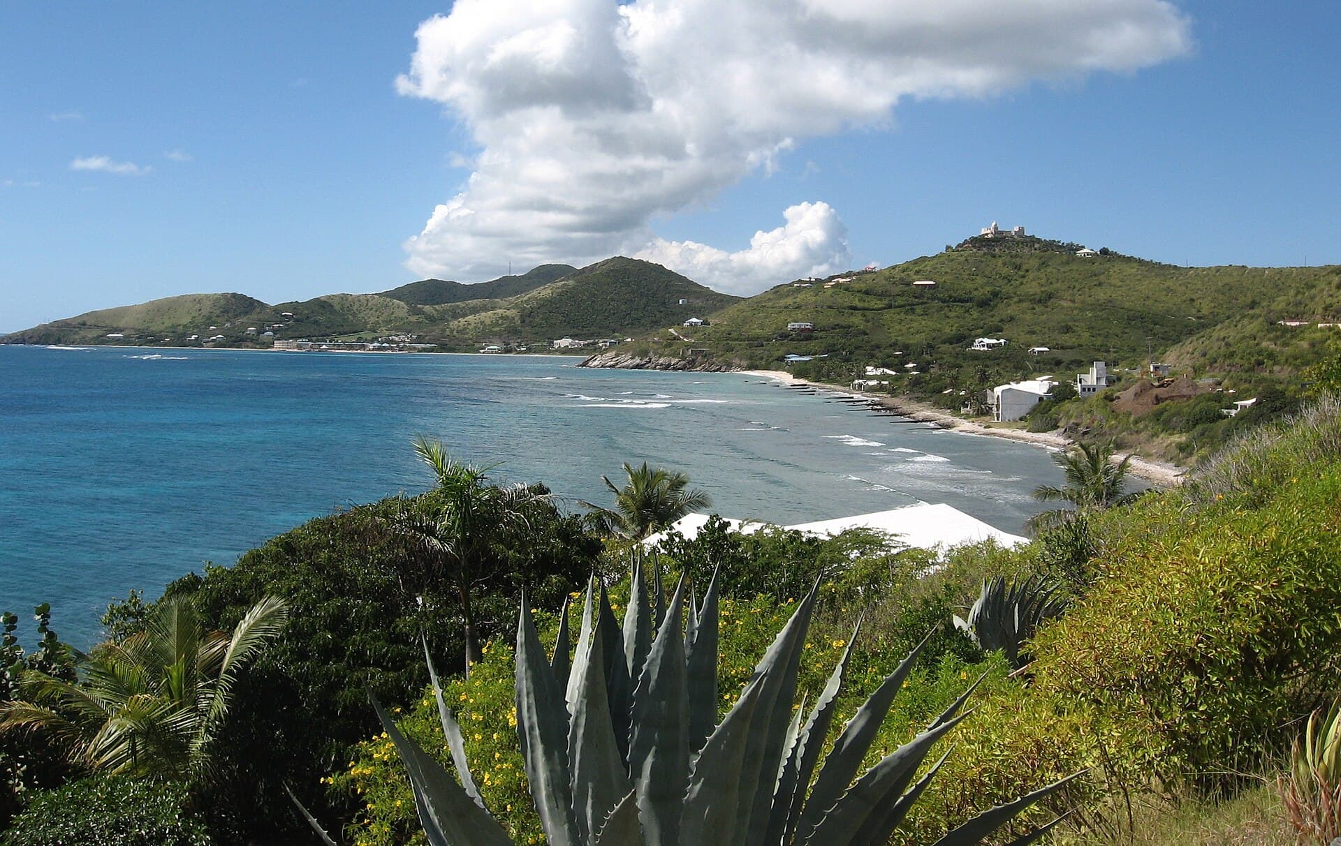
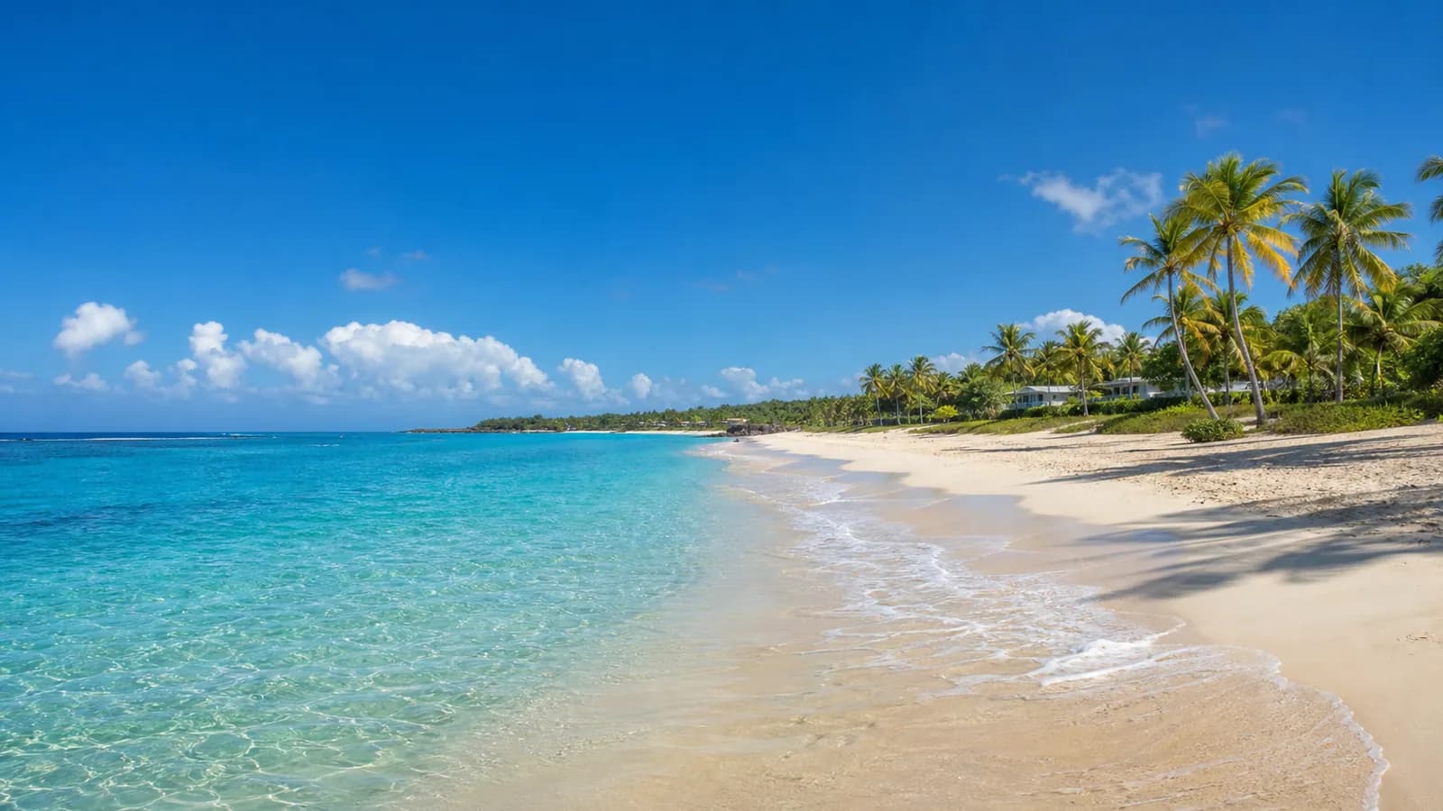
Cane Bay is on St. Croix’s North Shore Road, with the Cane Bay Wall dive site offshore. A beach visit and a wall dive need different plans; seek local dive guidance and check water conditions rather than treating the offshore wall as a casual swim.
A public park and beach on the north shore of St. Croix's East End, near Point Udall. Seagrape trees shade covered pavilions with picnic tables, grills, restrooms and paved parking, and camping is permitted. The water falls inside the Recreational Zone of the St. Croix East End Marine Park.
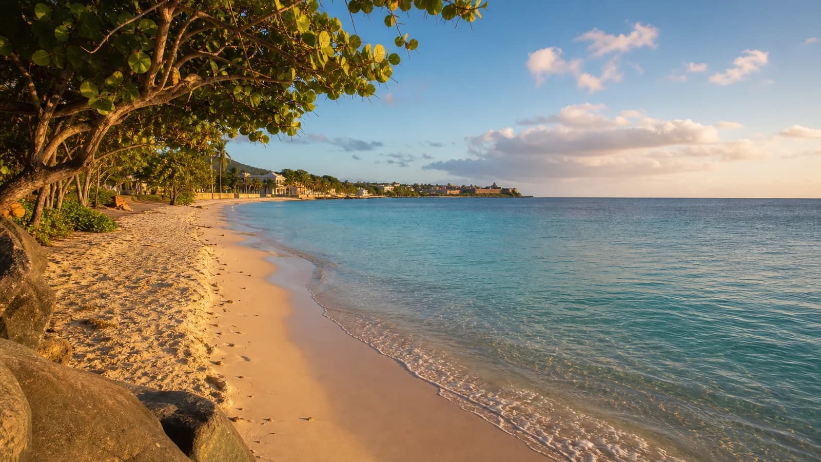
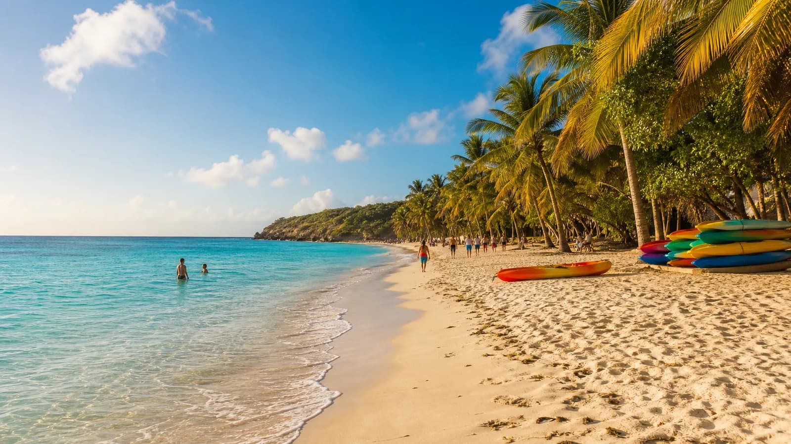
Dorsch Beach is a white-sand stretch on St. Croix’s west end, south of Frederiksted along Veterans Shore Drive. Palms and sea grapes line the shoreline, with views toward Frederiksted Pier.
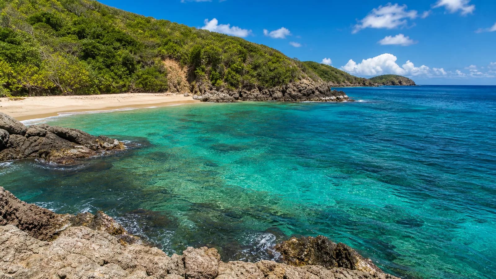
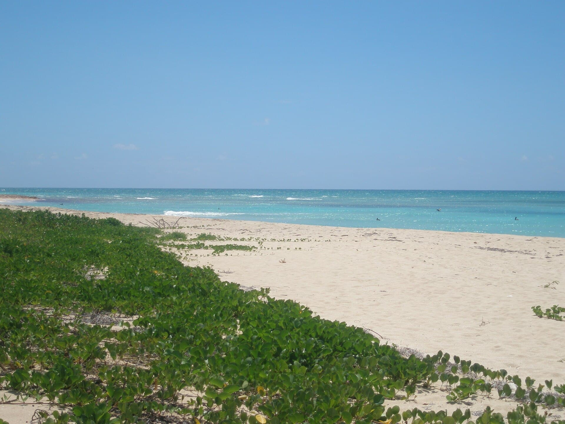
More than a mile of sand, soft in most places, on the south shore of St. Croix, reached by a dirt road off South Shore Road (Route 62) at the pink pillars. Parking sits directly beside the beach, and there are no facilities.
Northstar Bay Beach lies on St. Croix’s North Shore between Davis Bay and Cane Bay—a shore-access stop known more for snorkeling and scuba than soft amenities. Destination guides note a dramatic offshore depth drop and abundant marine life that draw divers from shore or by charter; there are no on-beach restaurants or dive shops (Cane Bay nearby covers those). Park along North Shore Road (Route 80) and do not leave valuables in the car.
Pelican Cove (also called Cormorant Beach) is a North Shore St. Croix strand a short drive west of Christiansted, lined with palms and backed by resorts and condos including The Palms at Pelican Cove. Long sandy stretches alternate with rockier spots; a nearshore reef supports snorkeling, and currents can run strong—choose swim areas carefully. Resort restaurant/bar amenities are nearby; beach chairs are generally for guests.
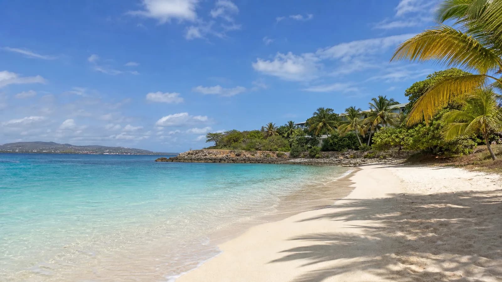
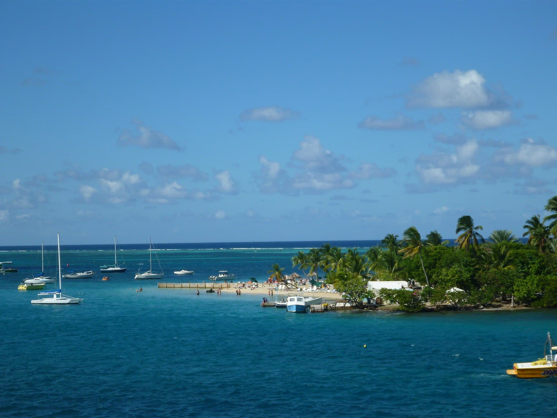
A small cay in the middle of Christiansted Harbor on St. Croix holds the only beach in downtown Christiansted, reached by a small ferry from the boardwalk near Fort Christiansvaern. Fine white sand and a sandy bottom, palm shade, plus a hotel, a restaurant and bar, and a water sports facility.
A west-facing sandy beach with clear water, about a mile from the Frederiksted cruise dock on St. Croix. A beach bar, Rhythms at Rainbow Beach, and the West End Water Sports center sit on site.
A St. Croix wildlife refuge established in 1984 with 340 acres bought from the West Indies Investment Company, and 43 more acres added since. It protects nesting habitat for endangered leatherback and hawksbill turtles and the threatened green sea turtle, and visitors take part in guided nesting and hatching observation. The beach is closed to the public from roughly mid-April to August each year while leatherbacks are nesting.
A crescent of sand east of Christiansted, next to the Buccaneer Hotel, reached by passing two hotel guard booths to a small parking lot and then a footpath through the trees. There are no facilities, some shade, private residences behind the beach, and snorkeling off it.
A snorkeling beach on St. Croix that runs between Tamarind Reef Resort & Spa and Green Cay Marina, fronting the resort's 40-acre property at 5001 Tamarind Reef in Christiansted. Green Cay and Buck Island Reef National Monument sit in view offshore.
A long beach behind a barrier reef on the north shore of St. Croix's East End, with shallow water broken by rocks and seagrass. The St. Croix Yacht Club and Duggan's Reef stand on it, inside the recreational zone of the St. Croix East End Marine Park.
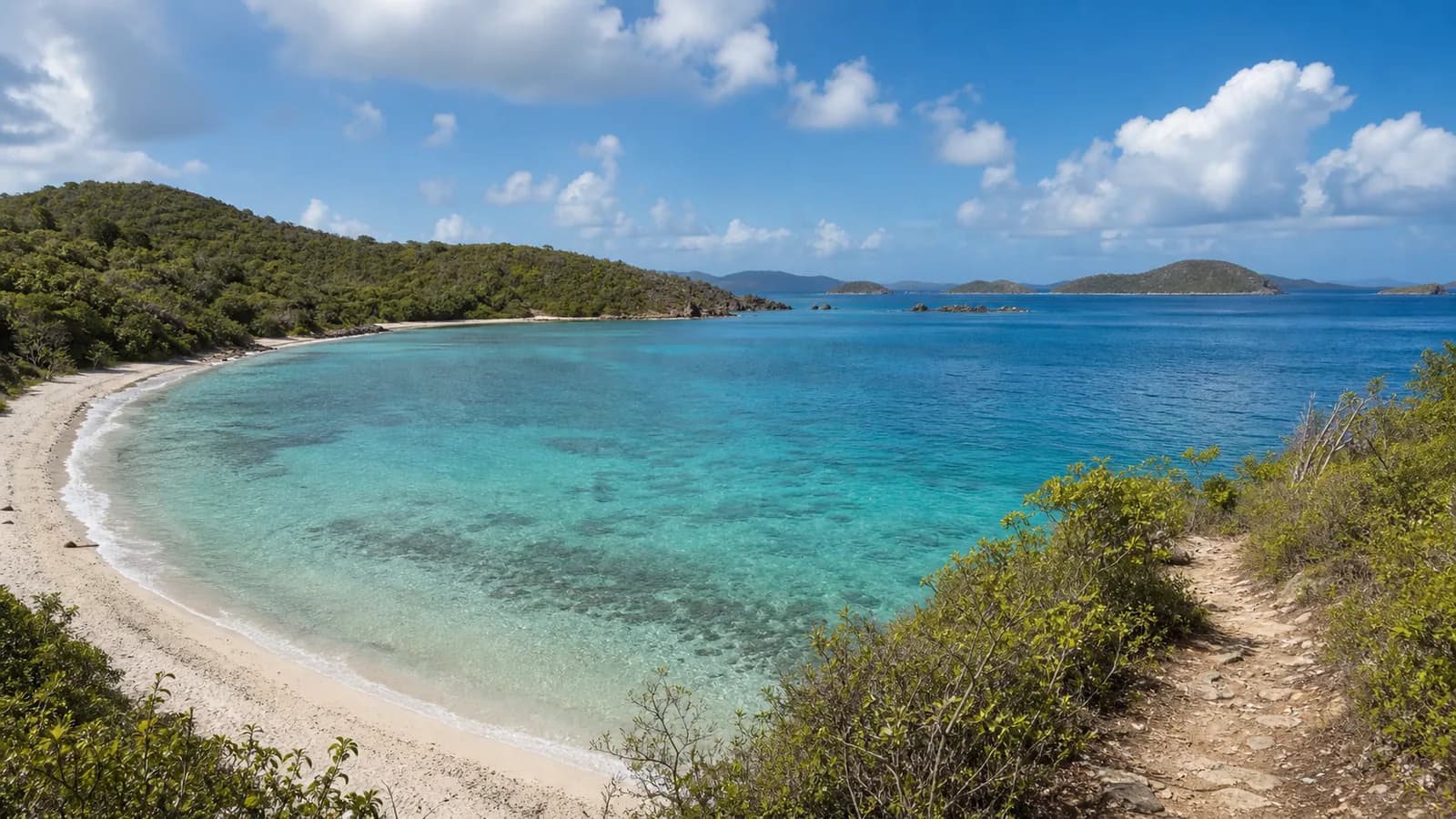
The place list and profile links stay available throughout the experience. Shoreline combines place photographs and labelled AI illustrations. Viewpoints are separate views rather than a continuous walking tour.