Island stories / St. John guide
Things to Do in St. John
Orient a St. John plan around Cruz Bay, named National Park places, and a separately confirmed return crossing without assuming conditions, access, taxis, fees, or wildlife.
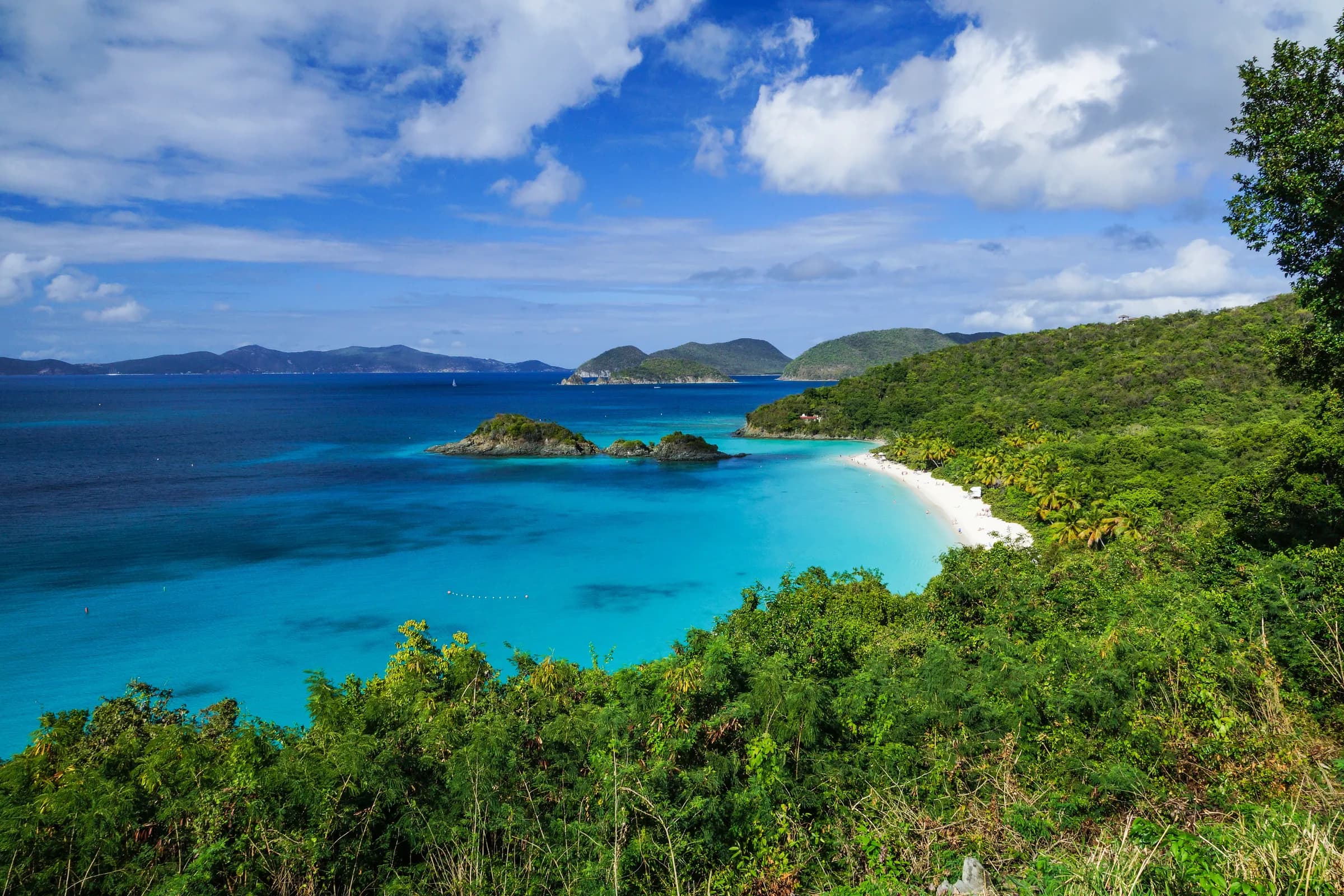
Virgin Islands National Park covers much of St. John and documents named beaches, trails, historic places, and park rules. Cruz Bay is the principal passenger-ferry arrival area. Use those durable relationships to orient the day, then confirm current ferry operation, park notices, access, transport, conditions, and the return for the exact itinerary.
01
Named park places, not guaranteed trip fits
The National Park Service identifies Trunk Bay's underwater trail and Maho Bay's shallow seagrass habitat, along with other named beaches and trails. These identities do not establish water safety, swimming suitability, facilities, parking, crowds, or wildlife for a particular visit.
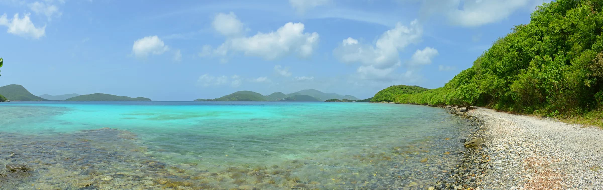
NPS history documents Annaberg's plantation landscape and the enslaved labor central to it. Confirm current site access, programs, closures, terrain, and mobility fit directly before adding any historic place or trail.
02
Cruz Bay and Coral Bay
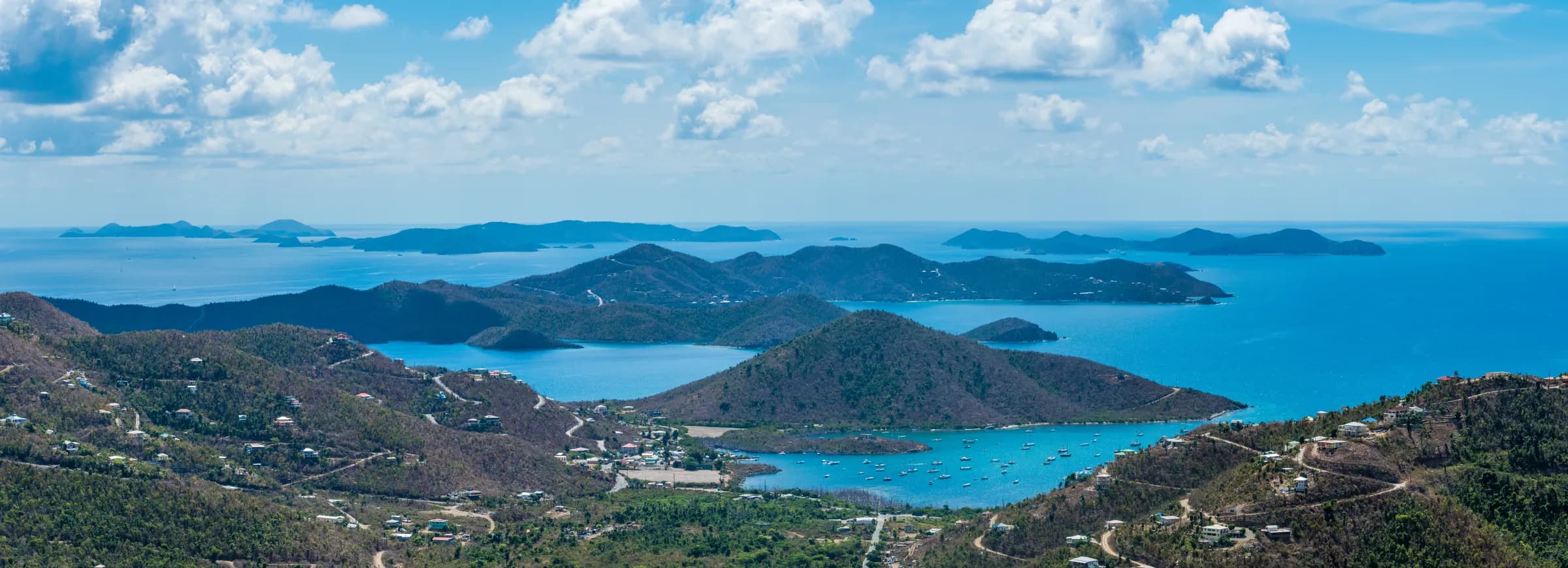
Cruz Bay is the principal passenger-ferry arrival town and a park-orientation point. A town label does not establish that a restaurant, shop, visitor service, taxi, or onward route is available; confirm every required stop directly.
Coral Bay, Salt Pond Bay, and Ram Head are distinct east- or south-side planning areas and places. Confirm the road or trail, current park notices, heat, surfaces, conditions, and return transport before treating any of them as feasible.
Your version of this day starts here.
Choose your island. Bring your own questions.
Know before you go
Before you set out
01
The ferry is the frame
Official sources distinguish passenger-ferry directions and vehicle-barge operations. Confirm the correct terminal, operator, boarding rules, capacity, and both directions for the named travel date.
02
North Shore Road links the park beaches
National Park Service guidance places several named beaches along the North Shore Road corridor. It does not guarantee a taxi, pickup, parking space, pedestrian route, accessibility feature, or return; confirm those separately.
03
Use current park rules
Check the current National Park Service compendium and visitor notices before the trip. Follow posted rules and current NPS or NOAA wildlife guidance rather than a static distance or access claim.
What holds, and what to check
Stays true
Park places and route relationships are documented
National Park Service and port sources establish named park places, Cruz Bay arrival context, and broad road or trail relationships.
Ask them directly
Fit and operation remain unknown until checked
A named beach or ferry direction does not establish today's water, weather, fee, closure, taxi, capacity, accessibility, or wildlife.
Compare these options
The north shore lineup
Trunk Bay ↗
NPS-documented underwater-trail setting; confirm current access, fees, facilities, and conditions.
Maho Bay ↗
NPS-documented shallow seagrass habitat; wildlife and conditions are never guaranteed.
Cinnamon Bay ↗
Named park beach and campground area; confirm current services and access.
Francis Bay ↗
Named park beach; confirm current access, conditions, and transport.
Annaberg ↗
NPS-documented plantation landscape; confirm current access and programs.
Where this came from
Check anything that matters
These are the pages this guide was written from. Schedules and opening details change faster than the rest, so open the source for anything your day depends on.
Virgin Islands National Park — Places to Go
Named park beaches, trails, and historic places used only for geographic orientation.
- Last reviewed
- 2026-08-25
- Source dates
How recent is this information?
Check the linked source for its latest information before travelling.
Virgin Islands National Park — Snorkeling
Trunk Bay underwater-trail and Maho Bay seagrass-habitat context, without wildlife or condition guarantees.
- Last reviewed
- 2026-08-25
- Source dates
How recent is this information?
Check the linked source for its latest information before travelling.
Virgin Islands National Park — Annaberg Plantation
Annaberg's plantation landscape and enslaved-labor history, not current access or programs.
- Last reviewed
- 2026-08-25
- Source dates
How recent is this information?
Check the linked source for its latest information before travelling.
Virgin Islands Port Authority — Ferry and cargo schedules
Responsible-source location for named St. John passenger and vehicle directions; no live-operation guarantee.
- Last reviewed
- 2026-08-25
- Source dates
How recent is this information?
Check the linked source for its latest information before travelling.
Virgin Islands National Park — Fees and Passes
Responsible source for current park fee information; this guide does not apply one fee rule to every place.
- Last reviewed
- 2026-08-25
- Source dates
How recent is this information?
Check the linked source for its latest information before travelling.
Keep exploring.
Straight answers
Can you do St. John in a day?
A day trip is feasible only when the named ferry directions, boarding, onward transport, access, activity duration, group needs, and conservative return all work for that date. Confirm every leg directly; the island label alone does not establish fit.
Can this guide predict where I will see turtles?
VibeVI does not rank beaches by wildlife likelihood. NPS documents shallow seagrass habitat at Maho Bay, but sightings are never guaranteed. Follow current NPS and NOAA wildlife-viewing guidance.
Do the park beaches cost money?
Do not assume one fee rule across park places. Check the current National Park Service fee page, access details, and closure notices for every named stop.