Your starting point
Charlotte Amalie, a cruise port, Red Hook, and an island stay create different travel times. Confirm the actual pickup and return plan.
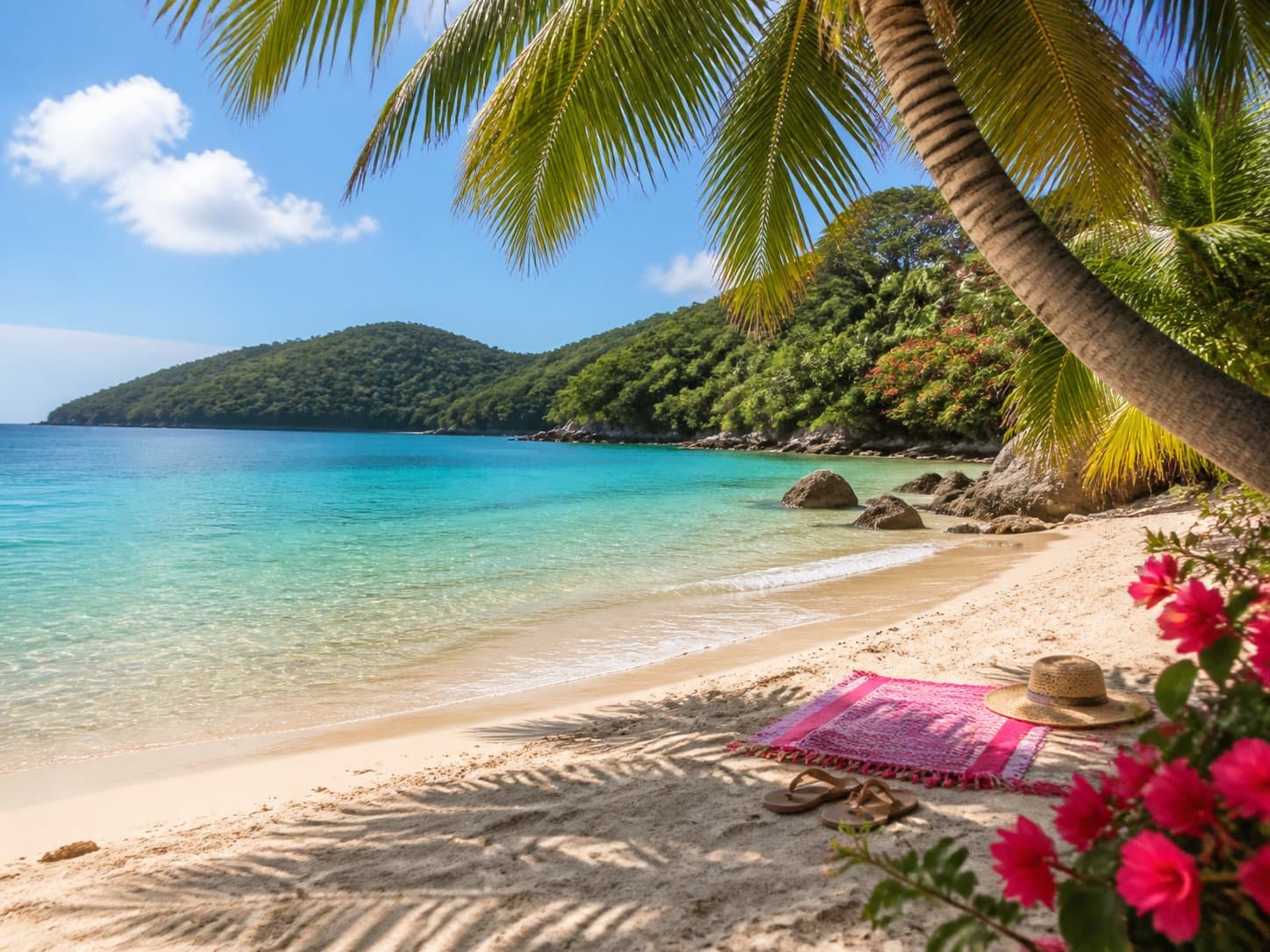
Northside classic · St. Thomas
The famous curve is only the opening move. Timing, transport, shade, current operations, and the route back across St. Thomas shape the better beach day.
Field notes
VibeVI provides planning context, not live beach operations. Verify current admission, hours, sea conditions, facility availability, and transport arrangements with official or direct sources before setting out.
Continue exploring
Search published transportation-related business profiles.
Move from salt water to a published St. Thomas dining profile.
Decide whether the beach works inside a conservative ship-return plan.
Reconnect the beach with ferries, nightlife, charters, and the map.
Make the call
Charlotte Amalie, a cruise port, Red Hook, and an island stay create different travel times. Confirm the actual pickup and return plan.
Weather, water, closures, facilities, and crowd patterns change. Treat a static guide as orientation, never a current conditions report.
A meal, ferry, ship return, or East End evening changes how long the beach can responsibly remain the anchor.
Before you go
No. VibeVI provides planning and directory context. Check official or direct sources for current beach, water, facility, and access information.
It may, depending on the port, transport, ship schedule, and conditions. Build backward from the authoritative all-aboard time and keep a conservative return margin.